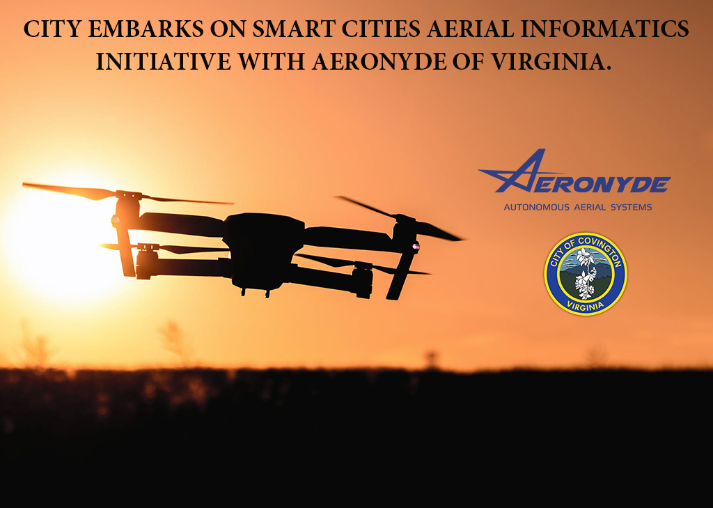
City Embarks on Smart Cities Aerial Informatics Initiative with Aeronyde of Virginia
~Flights slated to being along Route 220 in late January ~
Covington, Va. - On Friday, January 3, the City formalized a public-private partnership with Aeronyde. Aeronyde, a newly established autonomous aerial systems company within the City, is partnering with the City on a Smart Cities initiative, as a means of giving back to their new home. The company has created a proprietary system which provides data capture through its ability to simultaneously deploy multiple “drones” on a single flight path. This enables rapid and accurate data capture for a host of uses.
Several core City agencies will directly benefit from this effort to include: the Department of Public Works, Covington Police Department and Development Services.
This public-private partnership is designed to improve service delivery and enhance governmental decision-making relating to asset management for critical infrastructure along State Route 220 within City limits. The information derived from the data generated through the flights is also expected to provide insights on public safety in the area relating to better management of on-going multi-modal transportation efforts.
Once complete the City expects to use the information during its budget process to help determine the programming of projects along State Route 220 and add value to its VDOT funding requests. Residents are reminded that Aeronyde of Virginia, is licensed by the Federal Aviation Administration and other regulatory agencies to perform this work and has City approval to assess Route 220.
